

Karachi topographic map
Click on the map to display elevation.
Karachi
Karachi lies very close to a major fault line, where the Indian tectonic plate meets the Arabian tectonic plate. Within the city of Karachi are two small ranges: the Khasa Hills and Mulri Hills, which lie in the northwest and act as a barrier between North Nazimabad and Orangi. Karachi's hills are barren and are part of the larger Kirthar Range, and have a maximum elevation of 528 metres (1,732 feet).
About this map
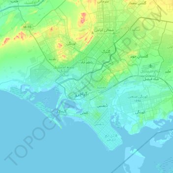
Name: Karachi topographic map, elevation, terrain.
Average elevation: 66 ft
Minimum elevation: -13 ft
Maximum elevation: 568 ft