
Bosworth topographic map
Interactive map
Click on the map to display elevation.
About this map
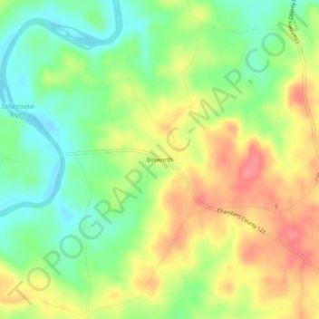
Name: Bosworth topographic map, elevation, terrain.
Location: Bosworth, Chambers County, Alabama, USA (33.00290 -85.58134 33.04290 -85.54134)
Average elevation: 689 ft
Minimum elevation: 574 ft
Maximum elevation: 820 ft