Geolocate

Santa Elena topographic map

Click on the map to display elevation.

About this map

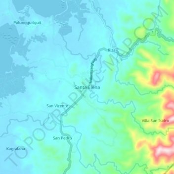
Name: Santa Elena topographic map, elevation, terrain.

Location: Santa Elena, Camarines Norte, Bicol Region, Philippines (14.13991 122.35233 14.21991 122.43233)

Average elevation: 217 ft

Minimum elevation: -10 ft

Maximum elevation: 1,539 ft

Gear up for your next adventure:

🪶Multi‑Purpose Knife - Useful blade for camp and trail
🔊Portable Camp Speaker - Music and alerts at camp
🍳Camping Cook Set - Complete cookware for outdoor meals
Backpacking Tent - Lightweight and durable tent for multi‑day hikes
🌡️Handheld Weather Meters - Measure wind, temp, and pressure for safe mountain travel

As an Amazon Associate, this site earns from qualifying purchases at no extra cost to you.