
Farming topographic map
Interactive map
Click on the map to display elevation.
About this map
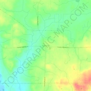
Name: Farming topographic map, elevation, terrain.
Location: Farming, Stearns County, Minnesota, USA (45.49546 -94.61814 45.53546 -94.57814)
Average elevation: 1,188 ft
Minimum elevation: 1,099 ft
Maximum elevation: 1,306 ft