
Tousnina topographic map
Interactive map
Click on the map to display elevation.
About this map
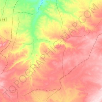
Name: Tousnina topographic map, elevation, terrain.
Location: Tousnina, Daïra Sougueur, Tiaret, Algérie (35.00121 1.18613 35.18501 1.44127)
Average elevation: 3,740 ft
Minimum elevation: 3,123 ft
Maximum elevation: 4,199 ft
Other topographic maps
Click on a map to view its topography, its elevation and its terrain.
Sougueur
Algérie > Tiaret > Daïra Sougueur
Sougueur, Daïra Sougueur, Tiaret, Algérie
Average elevation: 3,494 ft