
Carlos topographic map
Interactive map
Click on the map to display elevation.
About this map
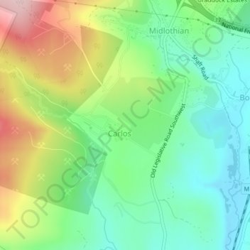
Name: Carlos topographic map, elevation, terrain.
Location: Carlos, Allegany County, Maryland, Estados Unidos da América (39.61961 -78.96427 39.62840 -78.94906)
Average elevation: 2,024 ft
Minimum elevation: 1,722 ft
Maximum elevation: 2,562 ft