Geolocate

Oysterville topographic map

Click on the map to display elevation.

About this map
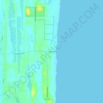
Name: Oysterville topographic map, elevation, terrain.

Location: Oysterville, Pacific County, Washington, 98641, United States (46.52899 -124.04822 46.56899 -124.00822)

Average elevation: 10 ft

Minimum elevation: 0 ft

Maximum elevation: 75 ft

Washington trails, hiking, mountain biking, running and outdoor activities

Gear up for your next adventure:

🎒Trekking Poles - Sturdy poles for balance and stability on rough terrain
🔭Compact Binoculars - HD vision for scouting terrain and identifying distant landmarks
🥤Water Filter Bottle - All‑in‑one filter bottle for safe hydration
⛺Backpacking Tents - Weight-optimized shelters for multi-day topographic surveys
🧥Waterproof Jacket for Hiking - Breathable and rugged rain jacket for outdoor excursions

As an Amazon Associate, this site earns from qualifying purchases at no extra cost to you.