
บ้านบางเกตุ topographic map
Interactive map
Click on the map to display elevation.
About this map
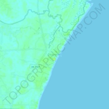
Name: บ้านบางเกตุ topographic map, elevation, terrain.
Location: บ้านบางเกตุ, บางเก่า, Phetchaburi, Thaïlande (12.82106 99.97964 12.86106 100.01964)
Average elevation: 7 ft
Minimum elevation: 0 ft
Maximum elevation: 39 ft
Other topographic maps
Click on a map to view its topography, its elevation and its terrain.