

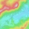
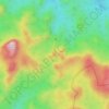
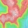
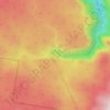
Blackheath topographic map
Click on the map to display elevation.
Blackheath
Blackheath (postcode: 2785) is an Australian town located near the highest point of the Blue Mountains, between Katoomba and Mount Victoria in New South Wales. The town's altitude is about 1,065 metres (3,494 ft) AHD and it is located about 120 kilometres (75 mi) west north-west of Sydney, 11 kilometres (6.8 mi) north-west of Katoomba, and about 30 kilometres (19 mi) south-east of Lithgow.
About this map

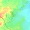
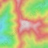
Name: Blackheath topographic map, elevation, terrain.
Average elevation: 2,999 ft
Minimum elevation: 1,234 ft
Maximum elevation: 3,612 ft
Other topographic maps
Click on a map to view its topography, its elevation and its terrain.
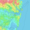
Sydney
Phillip had been given no instructions for urban development, but in July 1788 submitted a plan for the new town at Sydney Cove. It included a wide central avenue, a permanent Government House, law courts, hospital and other public buildings, but no provision for warehouses, shops, or other commercial…
Average elevation: 105 ft
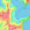
Mona Vale Beach Foreshore Reserve
Australia > New South Wales > Sydney > Mona Vale
Average elevation: 30 ft