
New Perungalathur Lake topographic map
Interactive map
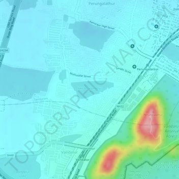
Click on the map to display elevation.
About this map
Name: New Perungalathur Lake topographic map, elevation, terrain.
Average elevation: 115 ft
Minimum elevation: 39 ft
Maximum elevation: 525 ft
Other topographic maps
Click on a map to view its topography, its elevation and its terrain.
Perungulathur
India > Tamil Nadu > Tambaram > Tambaram
Perungulathur, Tambaram, Chengalpattu District, Tamil Nadu, 600045, India
Average elevation: 128 ft
Lake
India > Tamil Nadu > Tambaram > Tambaram
Lake, Gowriwakkam, Tambaram, Chengalpattu District, Tamil Nadu, 601302, India
Average elevation: 66 ft