
Kärevere küla topographic map
Interactive map
Click on the map to display elevation.
About this map
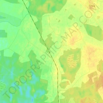
Name: Kärevere küla topographic map, elevation, terrain.
Location: Kärevere küla, Türi vald, Kreis Jerwen, 72302, Estland (58.69714 25.46240 58.76149 25.54767)
Average elevation: 200 ft
Minimum elevation: 161 ft
Maximum elevation: 233 ft