
Arroyo La Carbonera topographic map
Interactive map
Click on the map to display elevation.
About this map
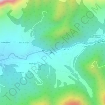
Name: Arroyo La Carbonera topographic map, elevation, terrain.
Location: Arroyo La Carbonera, Arteaga, Coahuila, México (25.45909 -100.70334 25.45915 -100.70320)
Average elevation: 7,110 ft
Minimum elevation: 6,588 ft
Maximum elevation: 8,556 ft
Other topographic maps
Click on a map to view its topography, its elevation and its terrain.
El Diamante
El Diamante, Arteaga, Coahuila, México
Average elevation: 7,165 ft
San Antonio de Las Alazanas
San Antonio de Las Alazanas, Arteaga, Coahuila, México
Average elevation: 7,228 ft
Los Lirios
Los Lirios, Arteaga, Coahuila, México
Average elevation: 8,196 ft
Arroyo La Carbonera
Arroyo La Carbonera, Arteaga, Coahuila, 22350, México
Average elevation: 6,302 ft