
贺兰山中路街道 topographic map
Interactive map
Click on the map to display elevation.
About this map
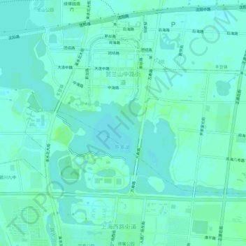
Name: 贺兰山中路街道 topographic map, elevation, terrain.
Location: 贺兰山中路街道, 金凤区, 银川市, 宁夏回族自治区, 中国 (38.50025 106.21284 38.52290 106.26290)
Average elevation: 3,635 ft
Minimum elevation: 3,625 ft
Maximum elevation: 3,652 ft
Other topographic maps
Click on a map to view its topography, its elevation and its terrain.