
Ferkéssédougou topographic map
Interactive map
Click on the map to display elevation.
About this map
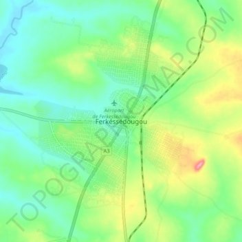
Name: Ferkéssédougou topographic map, elevation, terrain.
Location: Ferkéssédougou, Tchologo, Savanes, Côte d'Ivoire (9.55398 -5.23760 9.63398 -5.15760)
Average elevation: 1,096 ft
Minimum elevation: 974 ft
Maximum elevation: 1,345 ft
Other topographic maps
Click on a map to view its topography, its elevation and its terrain.