
Sacama topographic map
Interactive map
Click on the map to display elevation.
About this map
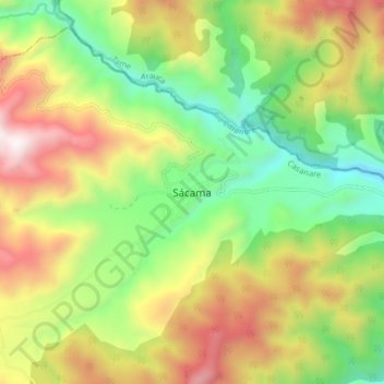
Name: Sacama topographic map, elevation, terrain.
Location: Sacama, Sácama, Casanare, Colombia (6.05891 -72.28877 6.13891 -72.20877)
Average elevation: 5,092 ft
Minimum elevation: 3,061 ft
Maximum elevation: 7,851 ft