
Santa Rosa topographic map
Interactive map
Click on the map to display elevation.
About this map
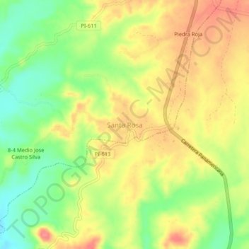
Name: Santa Rosa topographic map, elevation, terrain.
Location: Santa Rosa, Las Lomas, Piura, Perú (-4.82385 -80.31937 -4.78385 -80.27937)
Average elevation: 502 ft
Minimum elevation: 367 ft
Maximum elevation: 623 ft