
Malpaso topographic map
Interactive map
Click on the map to display elevation.
About this map
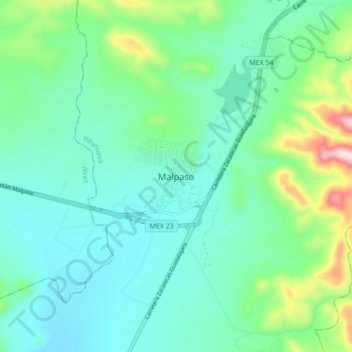
Name: Malpaso topographic map, elevation, terrain.
Location: Malpaso, Villanueva, Zacatecas, México (22.58397 -102.80243 22.66397 -102.72243)
Average elevation: 7,182 ft
Minimum elevation: 6,850 ft
Maximum elevation: 8,350 ft