
红海子 topographic map
Interactive map
Click on the map to display elevation.
About this map
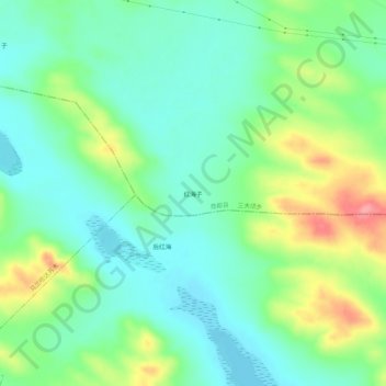
Name: 红海子 topographic map, elevation, terrain.
Location: 红海子, 三大顷乡, 商都县, 乌兰察布市, 内蒙古自治区, 中国 (41.51428 113.31877 41.55428 113.35877)
Average elevation: 4,685 ft
Minimum elevation: 4,583 ft
Maximum elevation: 4,902 ft