Geolocate

Pellheim topographic map

Click on the map to display elevation.

About this map

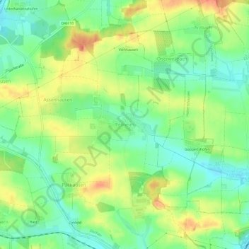
Name: Pellheim topographic map, elevation, terrain.

Location: Pellheim, Dachau, Landkreis Dachau, Bavaria, 85244, Germany (48.27487 11.39691 48.31487 11.43691)

Average elevation: 1,650 ft

Minimum elevation: 1,568 ft

Maximum elevation: 1,755 ft

Gear up for your next adventure:

📡GPS Antenna Upgrade - Enhance GPS reception in remote terrain
📦Dry Bags Set - Waterproof storage for electronics and clothes
🧯Portable Fire Pit - Compact fire pit for camping spots
🎁Geography Themed Gifts - Unique gift ideas for map lovers and geography enthusiasts
🌡️Handheld Weather Meters - Measure wind, temp, and pressure for safe mountain travel

As an Amazon Associate, this site earns from qualifying purchases at no extra cost to you.