
Peñalba topographic map
Interactive map
Click on the map to display elevation.
About this map
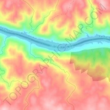
Name: Peñalba topographic map, elevation, terrain.
Location: Peñalba, Santiago de Alcântara, Cáceres, Estremadura, Espanha (39.64816 -7.22759 39.66816 -7.20759)
Average elevation: 709 ft
Minimum elevation: 367 ft
Maximum elevation: 938 ft