
Parco Naturale del Mont Avic topographic map
Interactive map
Click on the map to display elevation.
About this map
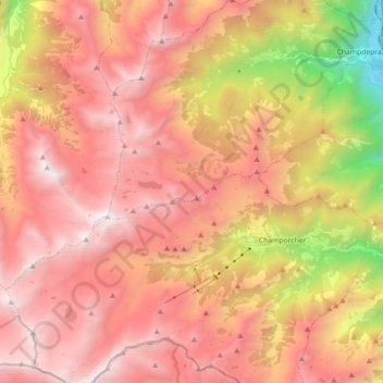
Name: Parco Naturale del Mont Avic topographic map, elevation, terrain.
Location: Parco Naturale del Mont Avic, Champdepraz, Aosta Valley, Italy (45.57723 7.49252 45.70206 7.64578)
Average elevation: 6,827 ft
Minimum elevation: 1,220 ft
Maximum elevation: 10,358 ft