
Zhanghua City topographic map
Interactive map
Click on the map to display elevation.
About this map
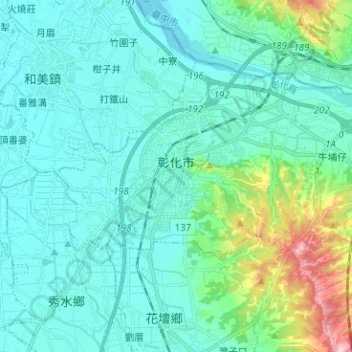
Name: Zhanghua City topographic map, elevation, terrain.
Location: Zhanghua City, Changhua County, Taiwan (24.03780 120.49981 24.11392 120.62581)
Average elevation: 131 ft
Minimum elevation: 3 ft
Maximum elevation: 774 ft
Other topographic maps
Click on a map to view its topography, its elevation and its terrain.
Dacheng Township
Dacheng Township, Changhua County, Taiwan
Average elevation: 26 ft