
Nieuwe Molen topographic map
Interactive map
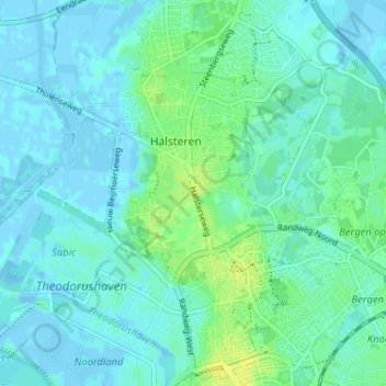
Click on the map to display elevation.
About this map
Name: Nieuwe Molen topographic map, elevation, terrain.
Average elevation: 13 ft
Minimum elevation: -16 ft
Maximum elevation: 49 ft
Other topographic maps
Click on a map to view its topography, its elevation and its terrain.
Halsteren
Nederland > Noord-Brabant > Halsteren
Halsteren, Noord-Brabant, Nederland, 4661, Nederland
Average elevation: 13 ft