
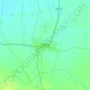
Bhabua topographic map
Interactive map
Click on the map to display elevation.
About this map
Name: Bhabua topographic map, elevation, terrain.
Location: Bhabua, Rohtās, Kaimur (Bhabua), Bihar, 821101, India (25.00151 83.56862 25.08151 83.64862)
Average elevation: 272 ft
Minimum elevation: 256 ft
Maximum elevation: 305 ft