
Vlist topographic map
Interactive map
Click on the map to display elevation.
About this map
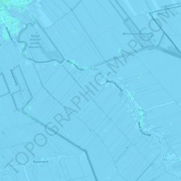
Name: Vlist topographic map, elevation, terrain.
Average elevation: -3 ft
Minimum elevation: -10 ft
Maximum elevation: 7 ft
Other topographic maps
Click on a map to view its topography, its elevation and its terrain.
Achterbroek
Nederland > Zuid-Holland > Krimpenerwaard > Achterbroek
Achterbroek, Krimpenerwaard, Zuid-Holland, Nederland, 2825, Nederland
Average elevation: -7 ft