Geolocate

Benenden topographic map

Click on the map to display elevation.

About this map
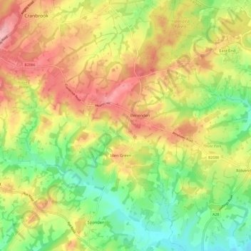
Name: Benenden topographic map, elevation, terrain.

Location: Benenden, Tunbridge Wells, Kent, England, United Kingdom (51.03761 0.53072 51.09144 0.64664)

Average elevation: 200 ft

Minimum elevation: 3 ft

Maximum elevation: 413 ft

Gear up for your next adventure:

☕Camping Coffee Makers - Enjoy premium coffee at the summit or campsite
🥾Women's Hiking Boots - Top-rated trail boots with ankle support and superior grip
🔋Rechargeable Batteries - Power up your outdoor devices
🧦Hiking Socks - Comfortable socks to prevent blisters on long hikes
🥾Men's Hiking Boots - Durable, waterproof footwear for rugged terrain and steep inclines

As an Amazon Associate, this site earns from qualifying purchases at no extra cost to you.