
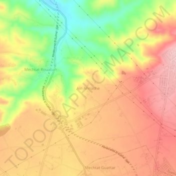
Ain Ahnache topographic map
Interactive map
Click on the map to display elevation.
About this map
Name: Ain Ahnache topographic map, elevation, terrain.
Location: Ain Ahnache, Guelta Zerga, Daïra El Eulma, Sétif, Algérie (36.18413 5.64037 36.22413 5.68037)
Average elevation: 3,120 ft
Minimum elevation: 2,776 ft
Maximum elevation: 3,363 ft