
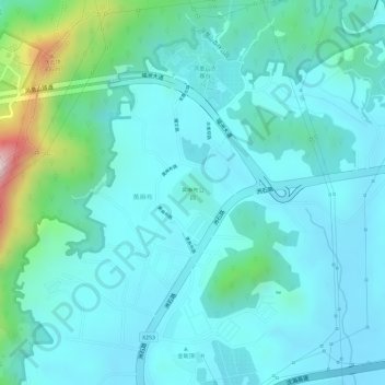
黄麻布公园 topographic map
Interactive map
Click on the map to display elevation.
About this map
Name: 黄麻布公园 topographic map, elevation, terrain.
Location: 黄麻布公园, 黄麻布, 航城街道, 宝安区, 深圳市, 广东省, 518100, 中国 (22.66723 113.86101 22.67086 113.86482)
Average elevation: 279 ft
Minimum elevation: 79 ft
Maximum elevation: 1,152 ft
Other topographic maps
Click on a map to view its topography, its elevation and its terrain.