
El Tejar topographic map
Interactive map
Click on the map to display elevation.
About this map
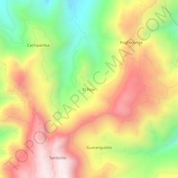
Name: El Tejar topographic map, elevation, terrain.
Location: El Tejar, Ibarra, Imbabura, Ecuador (0.34965 -78.07681 0.38965 -78.03681)
Average elevation: 9,058 ft
Minimum elevation: 7,454 ft
Maximum elevation: 10,571 ft