
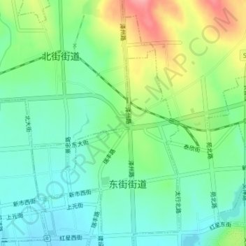
七星公园 topographic map
Interactive map
Click on the map to display elevation.
About this map
Name: 七星公园 topographic map, elevation, terrain.
Location: 七星公园, 北街街道, 城区, 晋城市, 山西省, 中国 (35.50788 112.84637 35.50918 112.84764)
Average elevation: 2,408 ft
Minimum elevation: 2,293 ft
Maximum elevation: 2,635 ft