
Siddheshwar Hanuman Mandir Udyaan topographic map
Interactive map
Click on the map to display elevation.
About this map
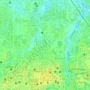
Name: Siddheshwar Hanuman Mandir Udyaan topographic map, elevation, terrain.
Average elevation: 1,804 ft
Minimum elevation: 1,765 ft
Maximum elevation: 1,837 ft
Other topographic maps
Click on a map to view its topography, its elevation and its terrain.
Holkar Cricket Stadium
India > Madhya Pradesh > Juni Indore Tahsil > Indore
Holkar Cricket Stadium, Indore, Juni Indore Tahsil, Indore District, Madhya Pradesh, India
Average elevation: 1,821 ft