
Plumville topographic map
Interactive map
Click on the map to display elevation.
About this map
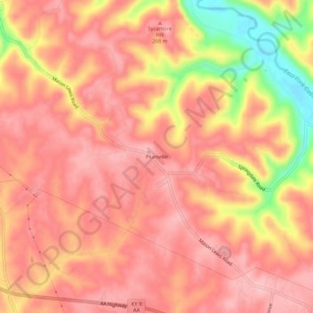
Name: Plumville topographic map, elevation, terrain.
Location: Plumville, Mason County, Kentucky, United States (38.58146 -83.69436 38.62146 -83.65436)
Average elevation: 810 ft
Minimum elevation: 479 ft
Maximum elevation: 935 ft
Other topographic maps
Click on a map to view its topography, its elevation and its terrain.
Maysville
United States > Kentucky > Mason County
Maysville, Mason County, Kentucky, 41056, United States
Average elevation: 774 ft