
乌马河 topographic map
Interactive map
Click on the map to display elevation.
About this map
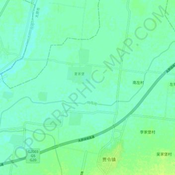
Name: 乌马河 topographic map, elevation, terrain.
Location: 乌马河, 祁县, 晋中市, 山西省, 中国 (37.42404 112.29759 37.45970 112.38343)
Average elevation: 2,480 ft
Minimum elevation: 2,464 ft
Maximum elevation: 2,507 ft
Other topographic maps
Click on a map to view its topography, its elevation and its terrain.