
Cerro Hermoso topographic map
Interactive map
Click on the map to display elevation.
About this map
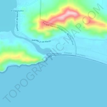
Name: Cerro Hermoso topographic map, elevation, terrain.
Location: Cerro Hermoso, Tututepec, Oaxaca, México (15.95000 -97.55583 15.99000 -97.51583)
Average elevation: 115 ft
Minimum elevation: -13 ft
Maximum elevation: 837 ft
Other topographic maps
Click on a map to view its topography, its elevation and its terrain.