Kampung Paya Kerchut topographic map
Interactive map
Click on the map to display elevation.
About this map
Name: Kampung Paya Kerchut topographic map, elevation, terrain.
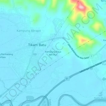
Average elevation: 69 ft
Minimum elevation: 0 ft
Maximum elevation: 686 ft

Click on the map to display elevation.
Name: Kampung Paya Kerchut topographic map, elevation, terrain.
Average elevation: 69 ft
Minimum elevation: 0 ft
Maximum elevation: 686 ft