
Tablada topographic map
Interactive map
Click on the map to display elevation.
About this map
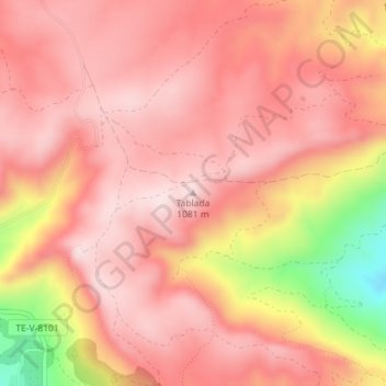
Name: Tablada topographic map, elevation, terrain.
Location: Tablada, Castellote, Maestrazgo, Teruel, Aragón, España (40.79020 -0.36930 40.79030 -0.36920)
Average elevation: 3,238 ft
Minimum elevation: 2,438 ft
Maximum elevation: 3,537 ft