
Mangham topographic map
Click on the map to display elevation.
About this map
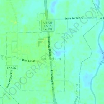
Name: Mangham topographic map, elevation, terrain.
Location: Mangham, Richland Parish, Louisiana, United States (32.30063 -91.79058 32.32091 -91.77101)
Average elevation: 69 ft
Minimum elevation: 52 ft
Maximum elevation: 92 ft
Richland Parish trails, hiking, mountain biking, running and outdoor activities
Other topographic maps
Click on a map to view its topography, its elevation and its terrain.