Geolocate

Camp Roberts topographic map

Click on the map to display elevation.

About this map
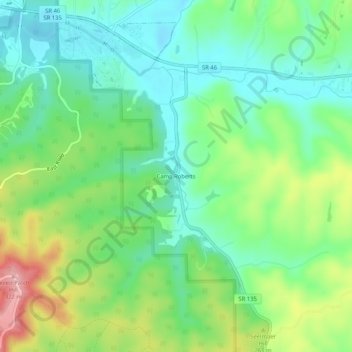
Name: Camp Roberts topographic map, elevation, terrain.

Location: Camp Roberts, Brown County, Indiana, United States (39.15838 -86.21360 39.19838 -86.17360)

Average elevation: 741 ft

Minimum elevation: 581 ft

Maximum elevation: 1,063 ft

Brown County trails, hiking, mountain biking, running and outdoor activities

Gear up for your next adventure:

🧤Tactile Hiking Gloves - Keep hands warm while operating GPS and smartphone screens
🥾Women's Hiking Boots - Top-rated trail boots with ankle support and superior grip
🪶Camping Sleeping Pad - Comfortable sleeping pad for backpacking
💧Water Purification System - Clean water on the trail with reliable purifiers
🥘Titanium Cookware - Durable, featherlight pots and pans for backpacking

As an Amazon Associate, this site earns from qualifying purchases at no extra cost to you.