
Kassala topographic map
Interactive map
Click on the map to display elevation.
About this map
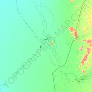
Name: Kassala topographic map, elevation, terrain.
Location: Kassala, Sudan (15.00865 36.00173 15.77626 36.72548)
Average elevation: 1,785 ft
Minimum elevation: 1,401 ft
Maximum elevation: 4,626 ft