
Herrenberg topographic map
Interactive map
Click on the map to display elevation.
About this map
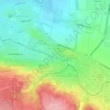
Name: Herrenberg topographic map, elevation, terrain.
Location: Herrenberg, Niedernissa, Erfurt, Thüringen, Deutschland (50.94700 11.05247 50.96489 11.10107)
Average elevation: 846 ft
Minimum elevation: 663 ft
Maximum elevation: 1,155 ft