Geolocate

毛集镇 topographic map

Interactive map

Click on the map to display elevation.

About this map

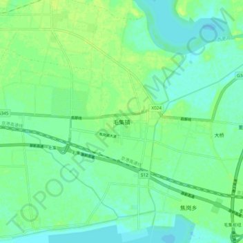
Name: 毛集镇 topographic map, elevation, terrain.

Location: 毛集镇, 淮南市, 安徽省, 中国 (32.61148 116.57853 32.69148 116.65853)

Average elevation: 72 ft

Minimum elevation: 52 ft

Maximum elevation: 95 ft

Other topographic maps

Click on a map to view its topography, its elevation and its terrain.

魏岗

中国 > 安徽省 > 淮南市

魏岗, 淮南市, 安徽省, 中国

Average elevation: 92 ft

黑龙

中国 > 安徽省 > 淮南市

黑龙, 淮南市, 安徽省, 中国

Average elevation: 72 ft

菱角

中国 > 安徽省 > 淮南市

菱角, 淮南市, 安徽省, 中国

Average elevation: 72 ft

杨村镇

中国 > 安徽省 > 淮南市

杨村镇, 淮南市, 安徽省, 中国

Average elevation: 82 ft

孤堆乡

中国 > 安徽省 > 淮南市

孤堆乡, 淮南市, 安徽省, 中国

Average elevation: 115 ft

杨镇

中国 > 安徽省 > 淮南市

杨镇, 淮南市, 安徽省, 中国

Average elevation: 92 ft