
San Agustín del Pulque topographic map
Interactive map
Click on the map to display elevation.
About this map
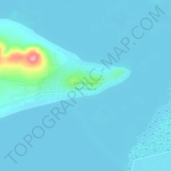
Name: San Agustín del Pulque topographic map, elevation, terrain.
Location: San Agustín del Pulque, Cuitzeo, Michoacán, México (19.94305 -101.08587 19.98305 -101.04587)
Average elevation: 6,033 ft
Minimum elevation: 6,007 ft
Maximum elevation: 6,391 ft
Other topographic maps
Click on a map to view its topography, its elevation and its terrain.
Cuitzeo del Porvenir
Cuitzeo del Porvenir, Cuitzeo, Michoacán, México
Average elevation: 6,053 ft