
Bad Tabarz topographic map
Interactive map
Click on the map to display elevation.
About this map
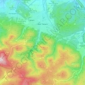
Name: Bad Tabarz topographic map, elevation, terrain.
Location: Bad Tabarz, Landkreis Gotha, Thüringen, 99891, Deutschland (50.83274 10.46355 50.89424 10.54133)
Average elevation: 1,775 ft
Minimum elevation: 1,102 ft
Maximum elevation: 3,009 ft