
Mora topographic map
Interactive map
Click on the map to display elevation.
About this map
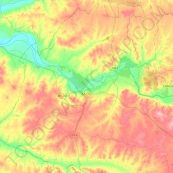
Name: Mora topographic map, elevation, terrain.
Location: Mora, Évora, Alto Alentejo, Alentejo, Portugal (38.87444 -8.27219 39.02693 -8.09860)
Average elevation: 371 ft
Minimum elevation: 98 ft
Maximum elevation: 600 ft