
Wannebecq topographic map
Interactive map
Click on the map to display elevation.
About this map
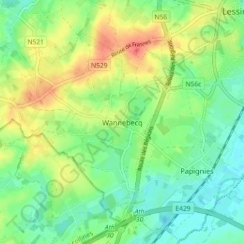
Name: Wannebecq topographic map, elevation, terrain.
Location: Wannebecq, Zinnik, Henegouwen, Wallonië, 7861, België (50.67408 3.77984 50.71408 3.81984)
Average elevation: 125 ft
Minimum elevation: 62 ft
Maximum elevation: 210 ft