
Daarlerveen topographic map
Interactive map
Click on the map to display elevation.
About this map
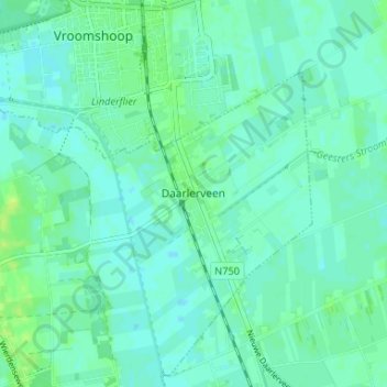
Name: Daarlerveen topographic map, elevation, terrain.
Location: Daarlerveen, Overijssel, Nederland, 7687, Nederland (52.42217 6.55794 52.46217 6.59794)
Average elevation: 30 ft
Minimum elevation: 16 ft
Maximum elevation: 52 ft