
Point Washington topographic map
Click on the map to display elevation.
About this map
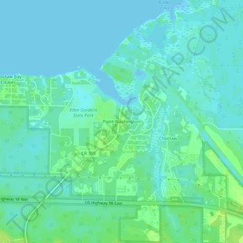
Name: Point Washington topographic map, elevation, terrain.
Location: Point Washington, Walton County, Florida, United States (30.35020 -86.13494 30.39020 -86.09494)
Average elevation: 13 ft
Minimum elevation: -7 ft
Maximum elevation: 43 ft
Walton County trails, hiking, mountain biking, running and outdoor activities
Other topographic maps
Click on a map to view its topography, its elevation and its terrain.
Choctaw Beach Community Center Park
United States > Florida > Walton County > Freeport > Choctaw Beach
Average elevation: 23 ft