
Piz Platta topographic map
Interactive map
Click on the map to display elevation.
About this map
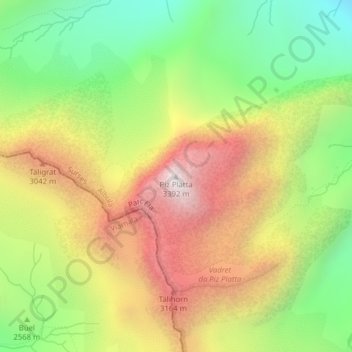
Name: Piz Platta topographic map, elevation, terrain.
Location: Piz Platta, Surses, Albula, Grigioni, 7448, Svizzera (46.48717 9.56162 46.48727 9.56172)
Average elevation: 8,737 ft
Minimum elevation: 6,637 ft
Maximum elevation: 11,115 ft
Other topographic maps
Click on a map to view its topography, its elevation and its terrain.
Piz Lagrev
Piz Lagrev, Surses, Albula, Grigioni, 7515, Svizzera
Average elevation: 8,609 ft