
Busalla topographic map
Interactive map
Click on the map to display elevation.
About this map
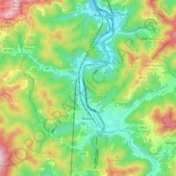
Name: Busalla topographic map, elevation, terrain.
Location: Busalla, Genova, Liguria, 16012, Italia (44.55245 8.91920 44.61794 9.01452)
Average elevation: 1,647 ft
Minimum elevation: 1,017 ft
Maximum elevation: 2,743 ft
Other topographic maps
Click on a map to view its topography, its elevation and its terrain.