
Heimerzheim topographic map
Interactive map
Click on the map to display elevation.
About this map
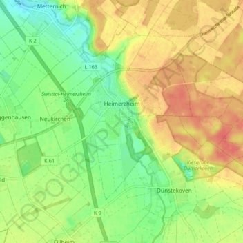
Name: Heimerzheim topographic map, elevation, terrain.
Average elevation: 476 ft
Minimum elevation: 397 ft
Maximum elevation: 551 ft
Heimerzheim hat ein reges Vereinsleben; neben dem Karneval und Rosenmontagszug ist ein dörflicher Höhepunkt das Schützenfest, das jährlich am ersten Wochenende im Juli stattfindet.
Other topographic maps
Click on a map to view its topography, its elevation and its terrain.
Odendorf
Deutschland > Nordrhein-Westfalen > Rhein-Sieg-Kreis > Swisttal
Odendorf, Swisttal, Rhein-Sieg-Kreis, Nordrhein-Westfalen, Deutschland
Average elevation: 568 ft